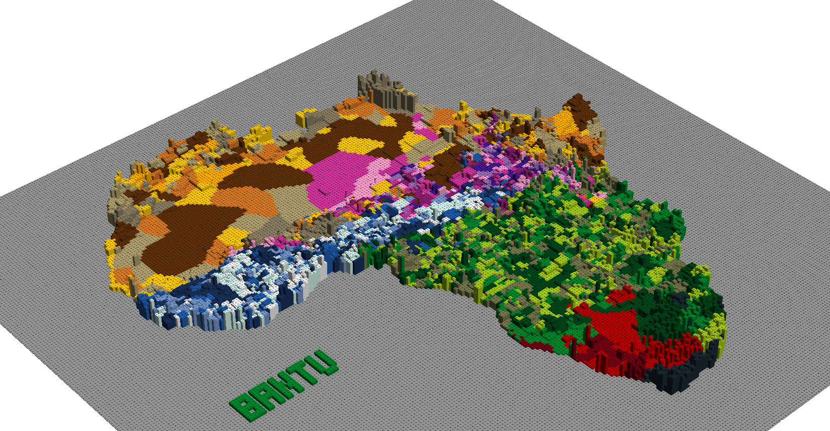
LEGO map of Africa
Below is a LEGO map of Africa made out of approximately 50k LEGO parts measuring 192x192cm. Approximately 2000 of the 7000 languages of the world are found within Africa.
Languages of Africa
There are five main non-eurasian language families within Africa; Afroasiatic, Nilo-Saharan, Niger-Congo, Bantu and Khoisan.


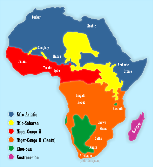

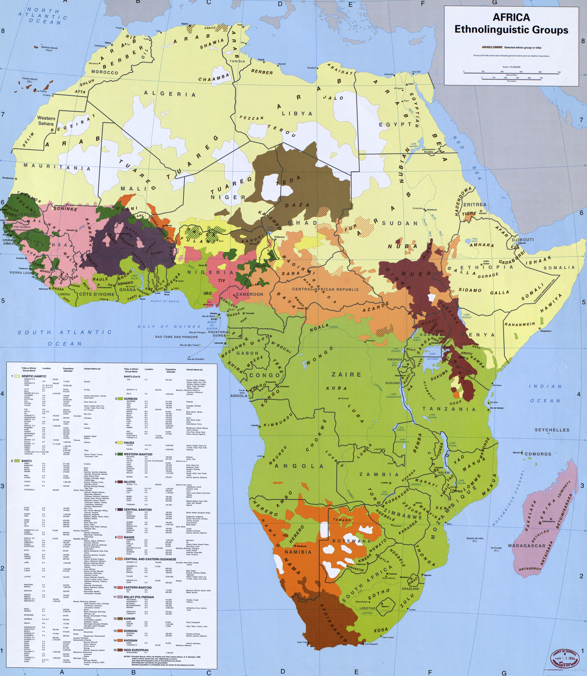


Geography in the form of mountains, deserts, rivers and so on functions as a barrier for the co-development of languages and the exchange of genetic material between populations. The map above represents the different ethnolinguistic groups of Africa; of which there are more than a thousand existing ones. A few of the ethnolinguistic groups of sub-Saharan Africa, which often count tens of millions speakers, are the Zulu, Hausa, Maasai, Oromo, Amhara, Fula, Akan, Igbo, Kongo, Mande, Mossi, Yoruba, Dinka, Kanuri, Luo, Nuer, Nama, San, Sandawe, !Kung, Taa, Nubians, Shona, Wolof, Chewa, etc.

Genetic diversity within and outside Africa
There is more genetic diversity in Africa due to the recent African origin of modern humans and the founder effect as evidenced by for example the 1000 genomes project and the African Genome Variation Project. Figure b below shows African individuals having a greater number of genetic variants relative to euroasiatic individuals. The other figure shows the approximate migration events; the numbers represent thousands of years relative to present day and the circled letters represent mitochondrial haplogroups.


Technical stuff
The height of the map represents the population density. Vector based data on the ethnolingustic groups was downloaded from the WorldMap at harvard.edu. Grid based data on population density was downloaded from the NASA Socioeconomic Data and Applications Center at columbia.edu.
According to the four color theorem four colours would have been sufficient to avoid identical colours adjacent to each other, but the full LEGO palette of colours was used for artistic purposes. To decide, whether the position of a LEGO part is within or outside a given vector of a ethnolingustic group, is a case of the point-in-polygon problem.
Building instructions for the map can be found here:
The code to generate the map from the relevant data sources can be found here
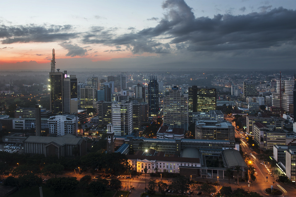
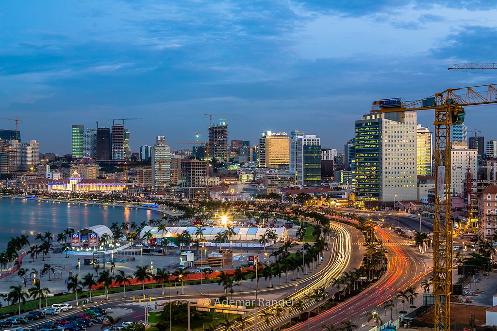
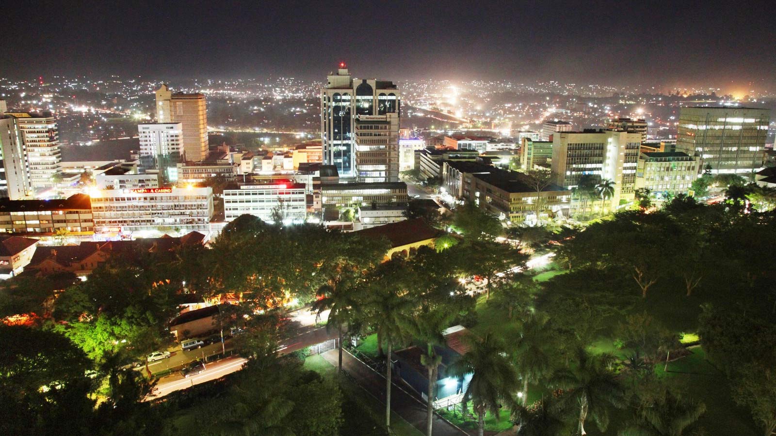
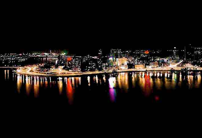
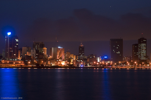
Photos from Africa
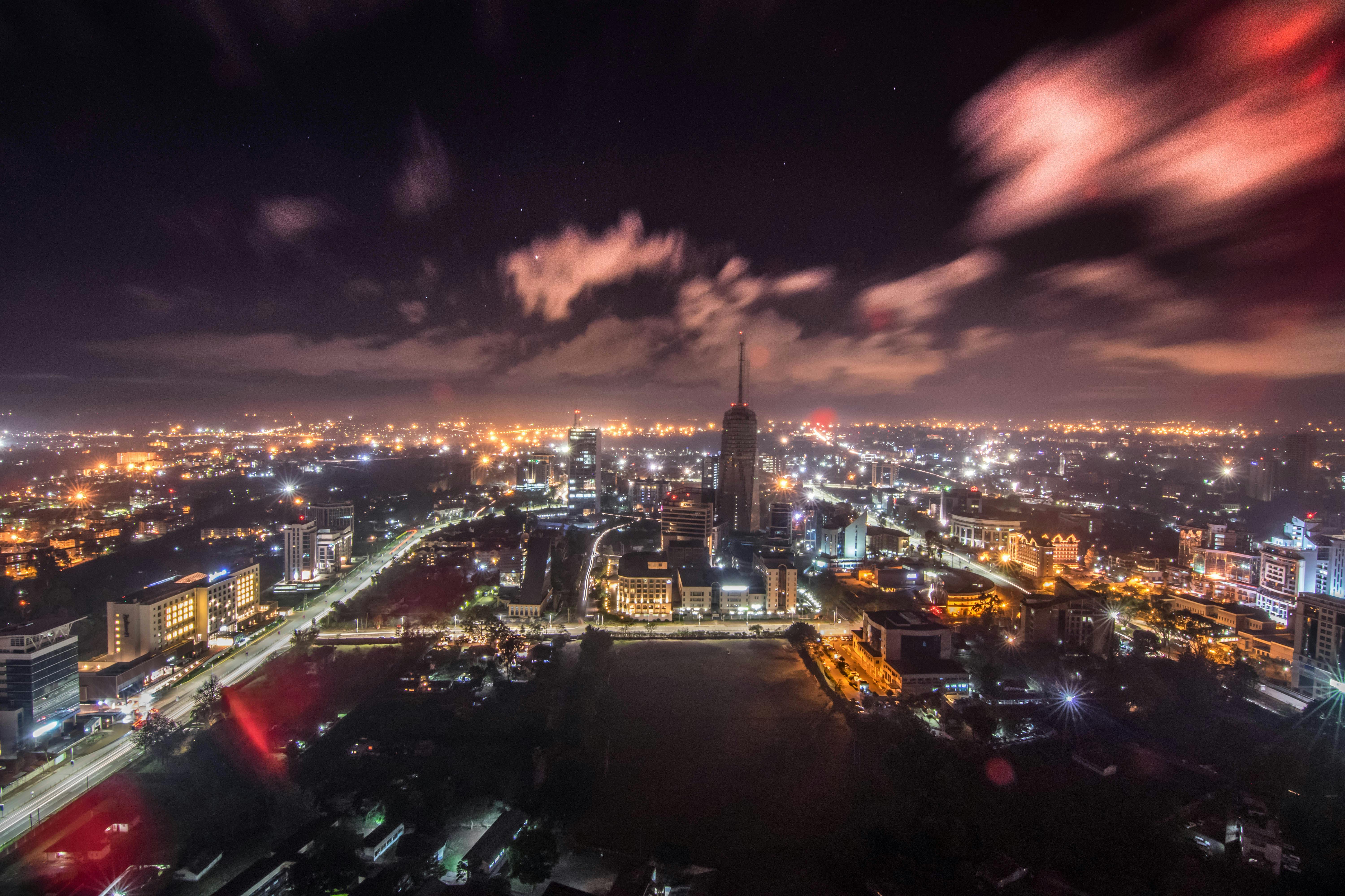
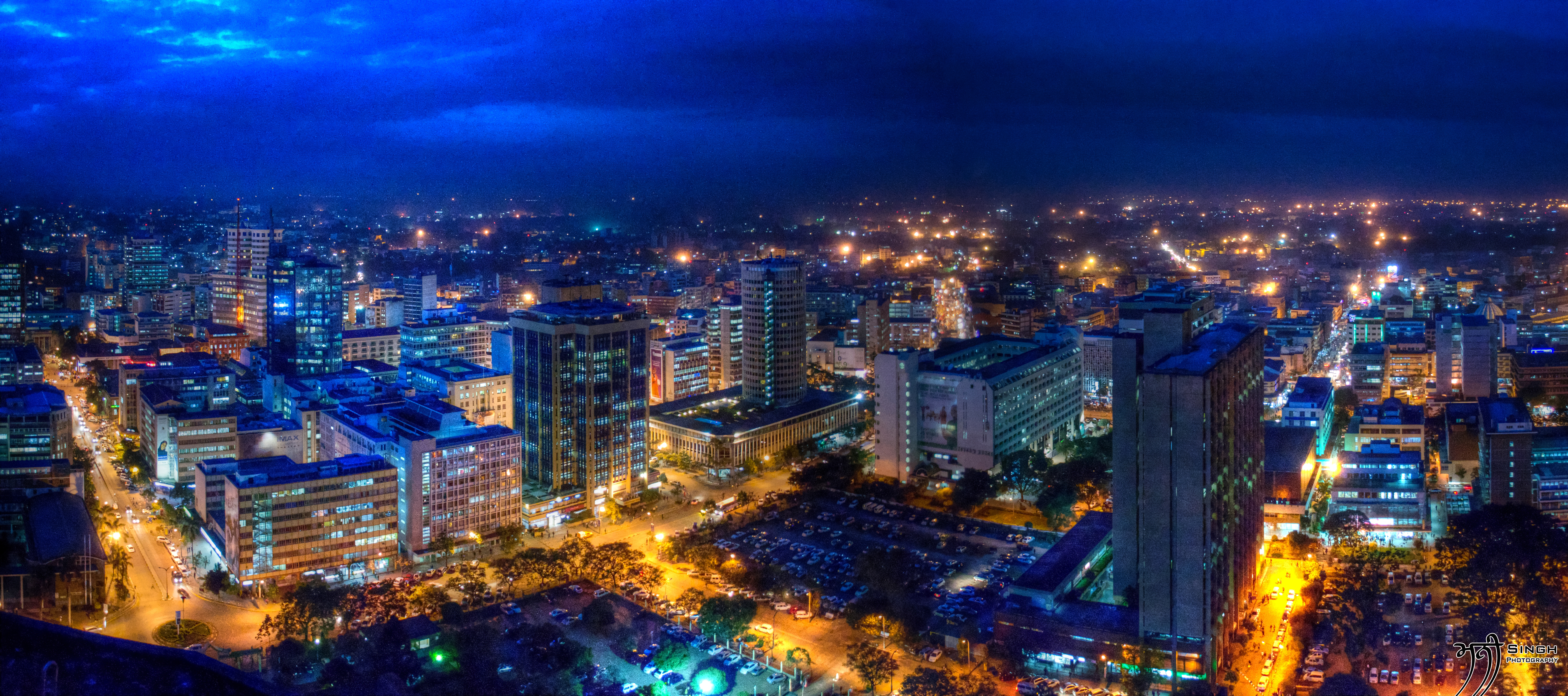
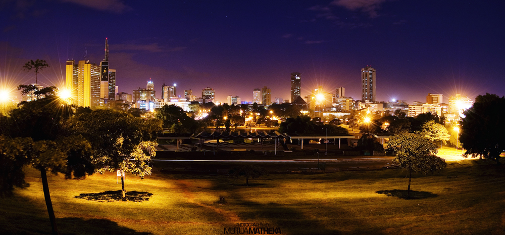
Nairobi


Addis Ababa

Khartoum


Dar es Salaam

Kampala

Abidjan
Durban

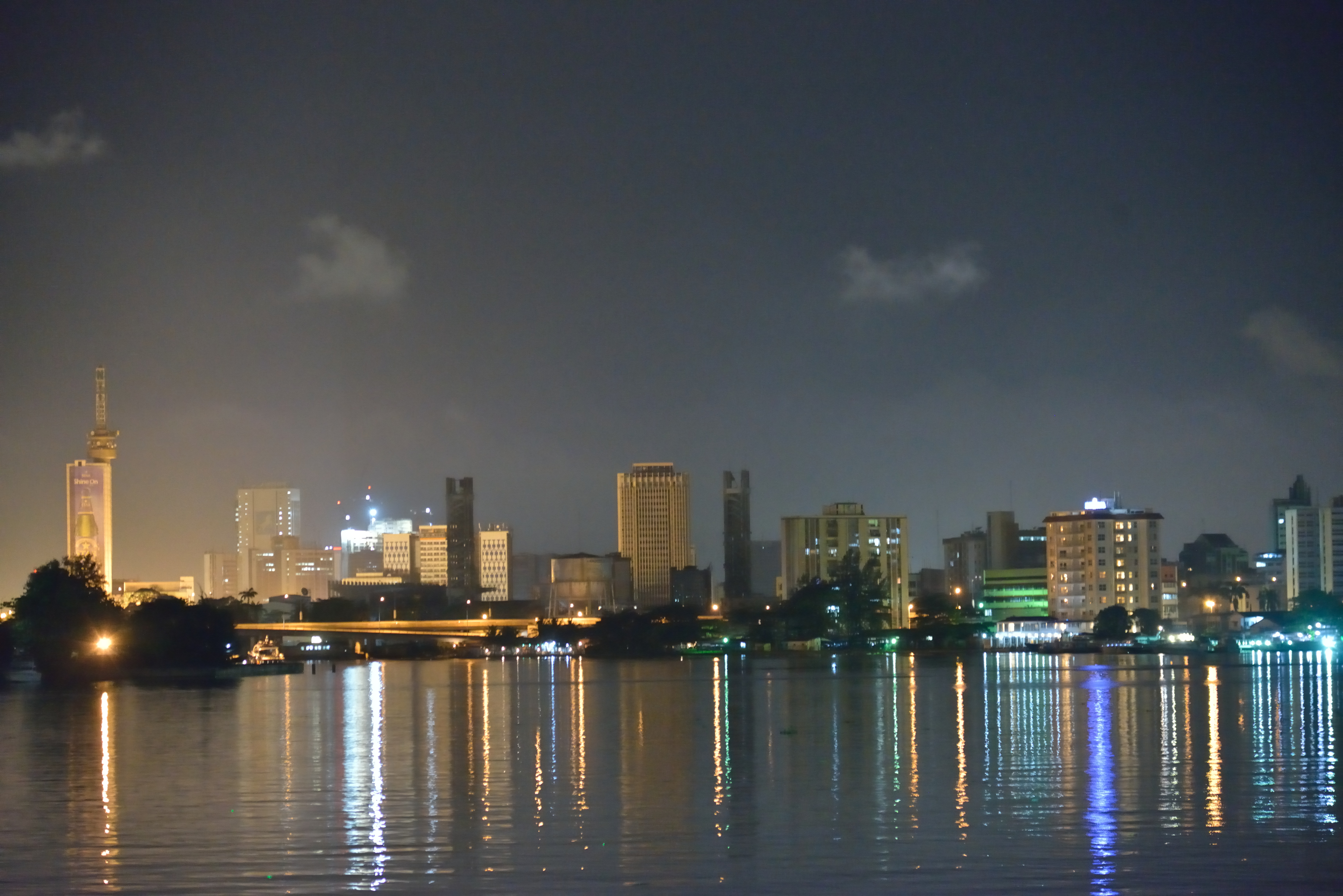
Lagos