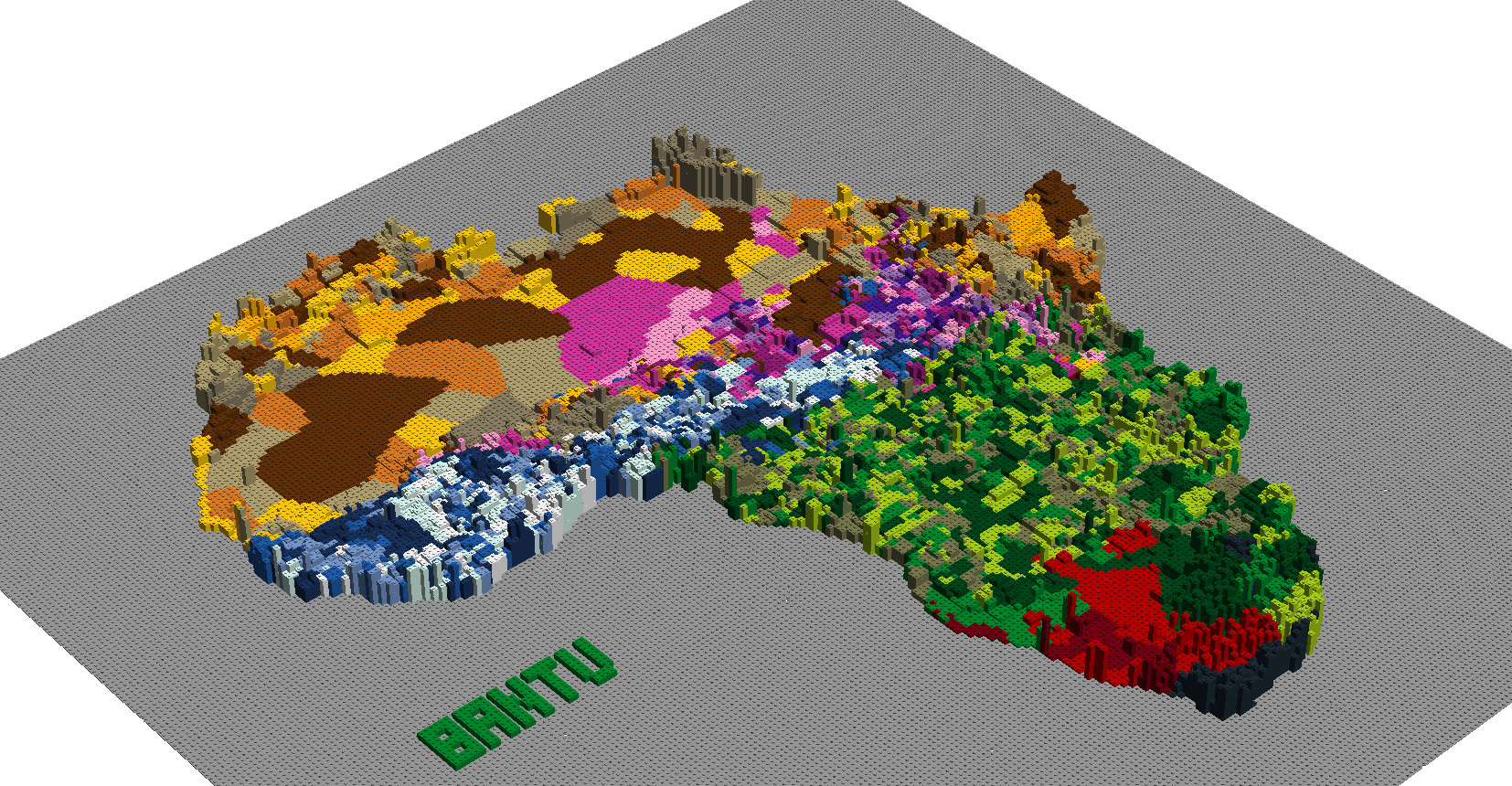
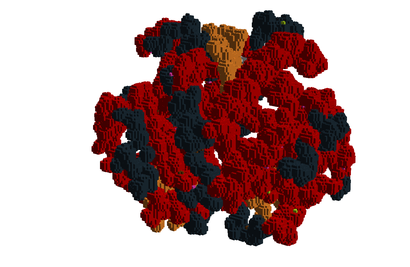
Map of Africa coloured by ethnolinguistic groups and scaled in height by population density
Code on GitHub here:
The code converts grid based population density data and vector based data on ethnolinguistic groups into a map displaying that information.
Lenticular mosaic of Fred Sanger and a DNA molecule